Drone Imagery
Drone Imagery
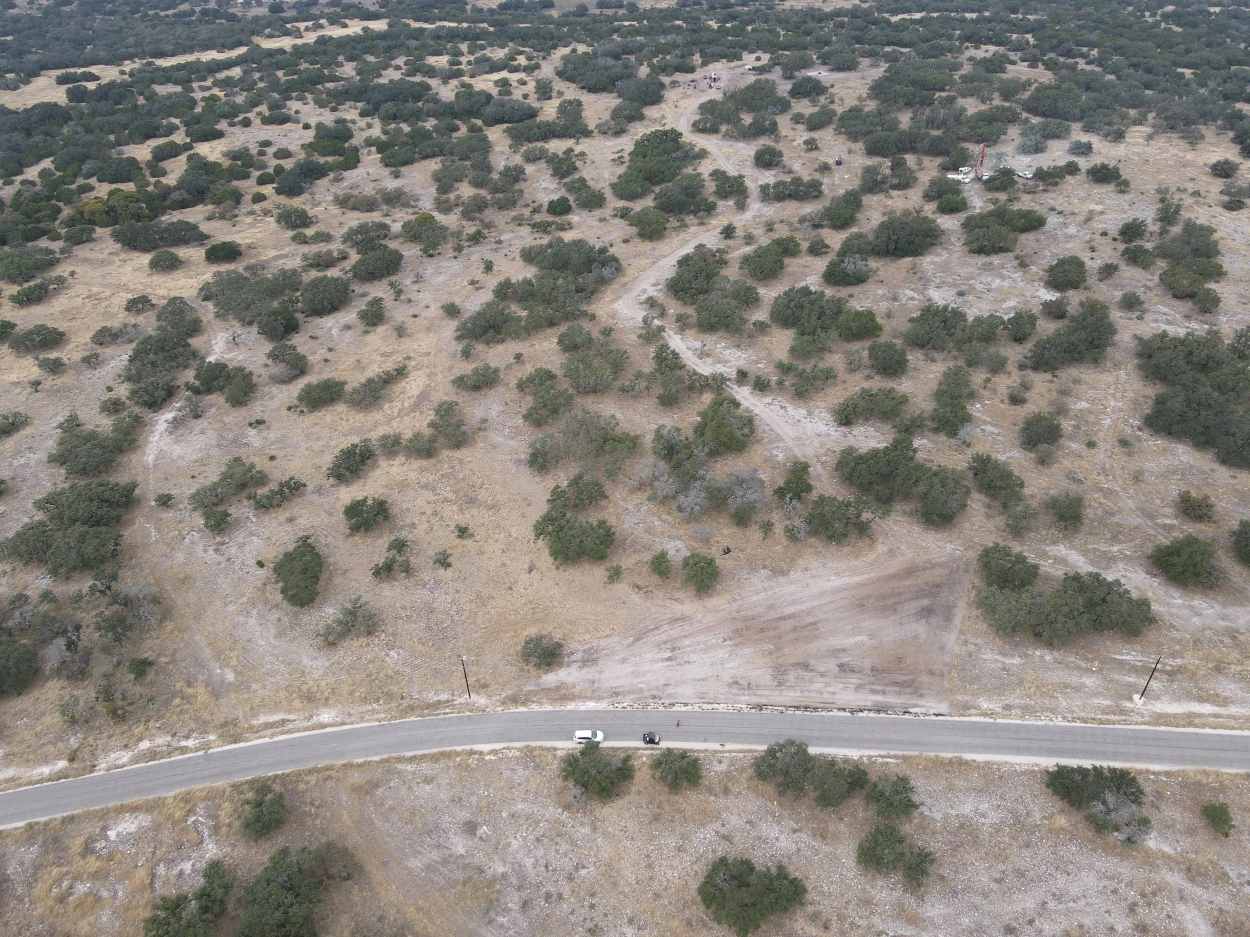
Our drone imagery gives you a bird’s-eye view of your land- perfect for planning, showcasing, or boosting property value if you’re looking to sell.
Get the full perspective before your next project or improvement.
Aerial before/after photos
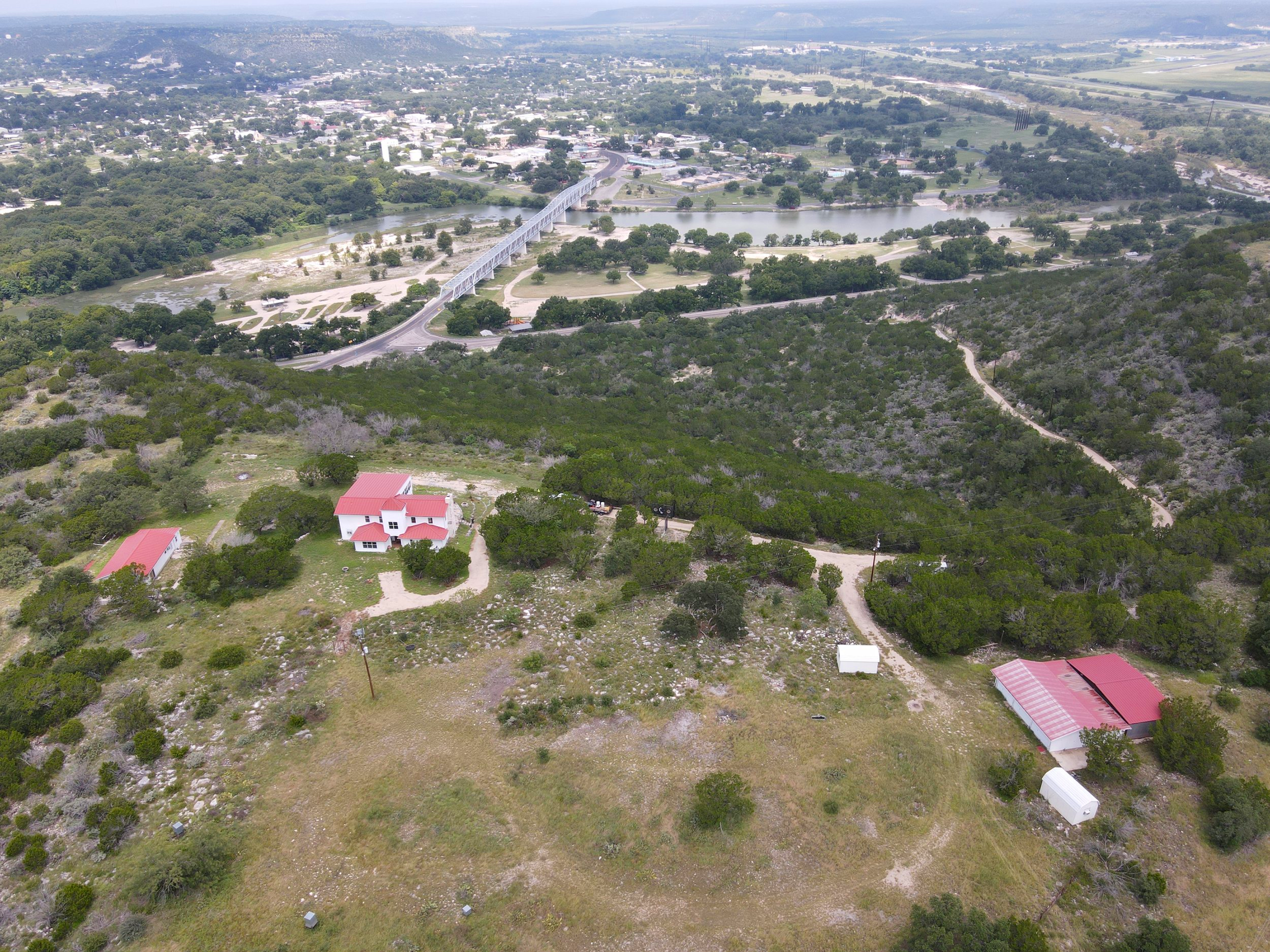
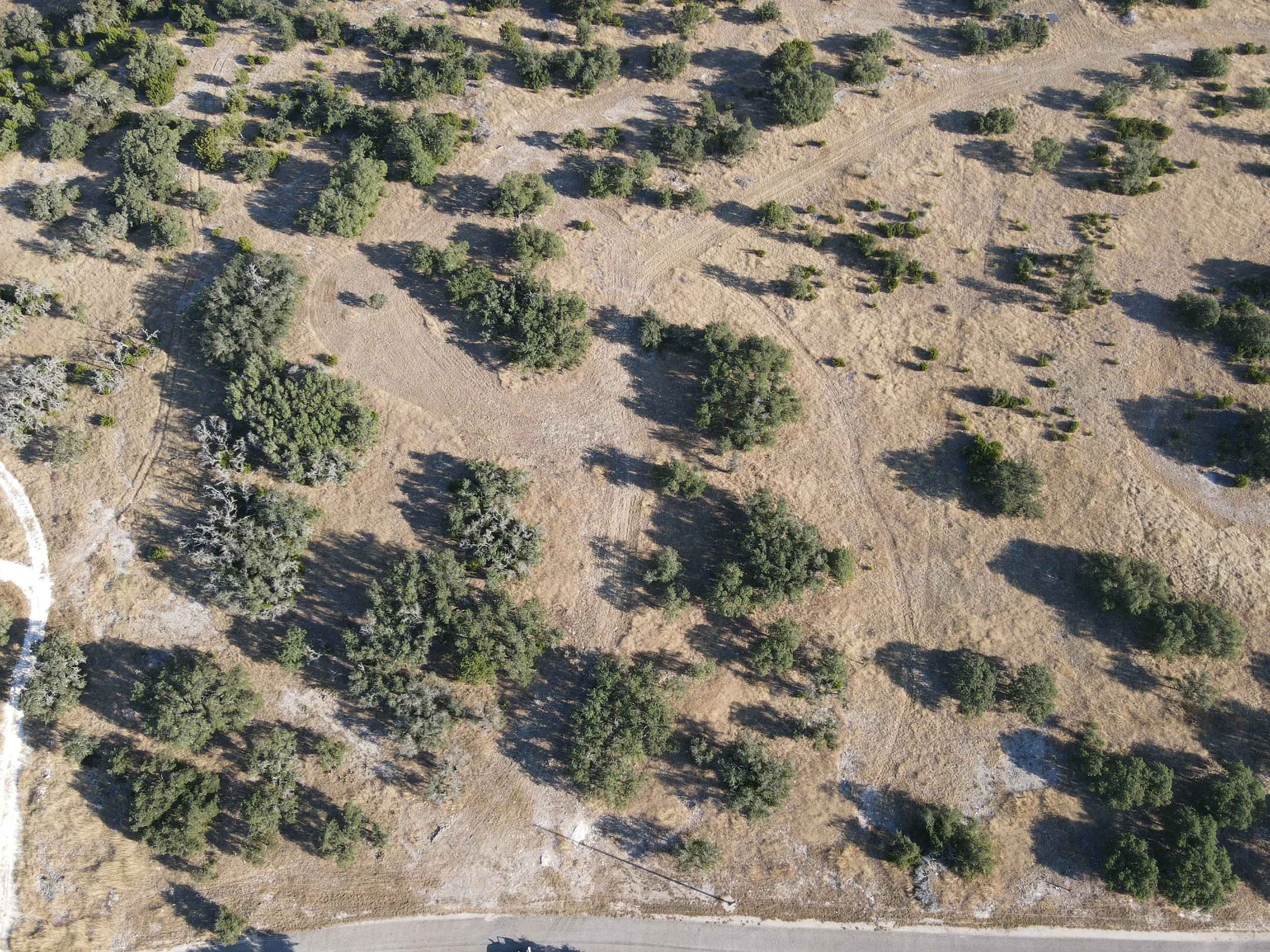
High-resolution property overviews
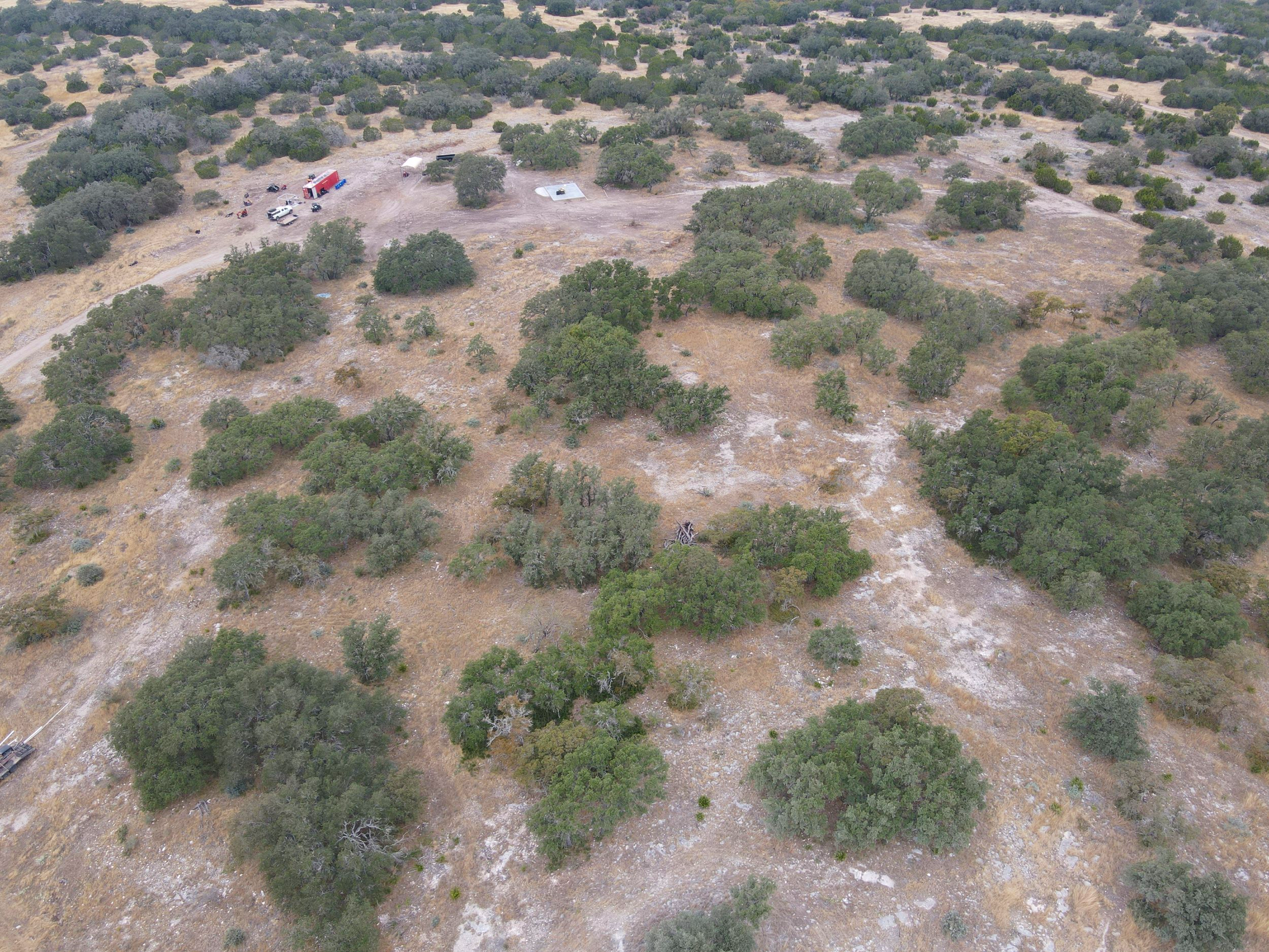
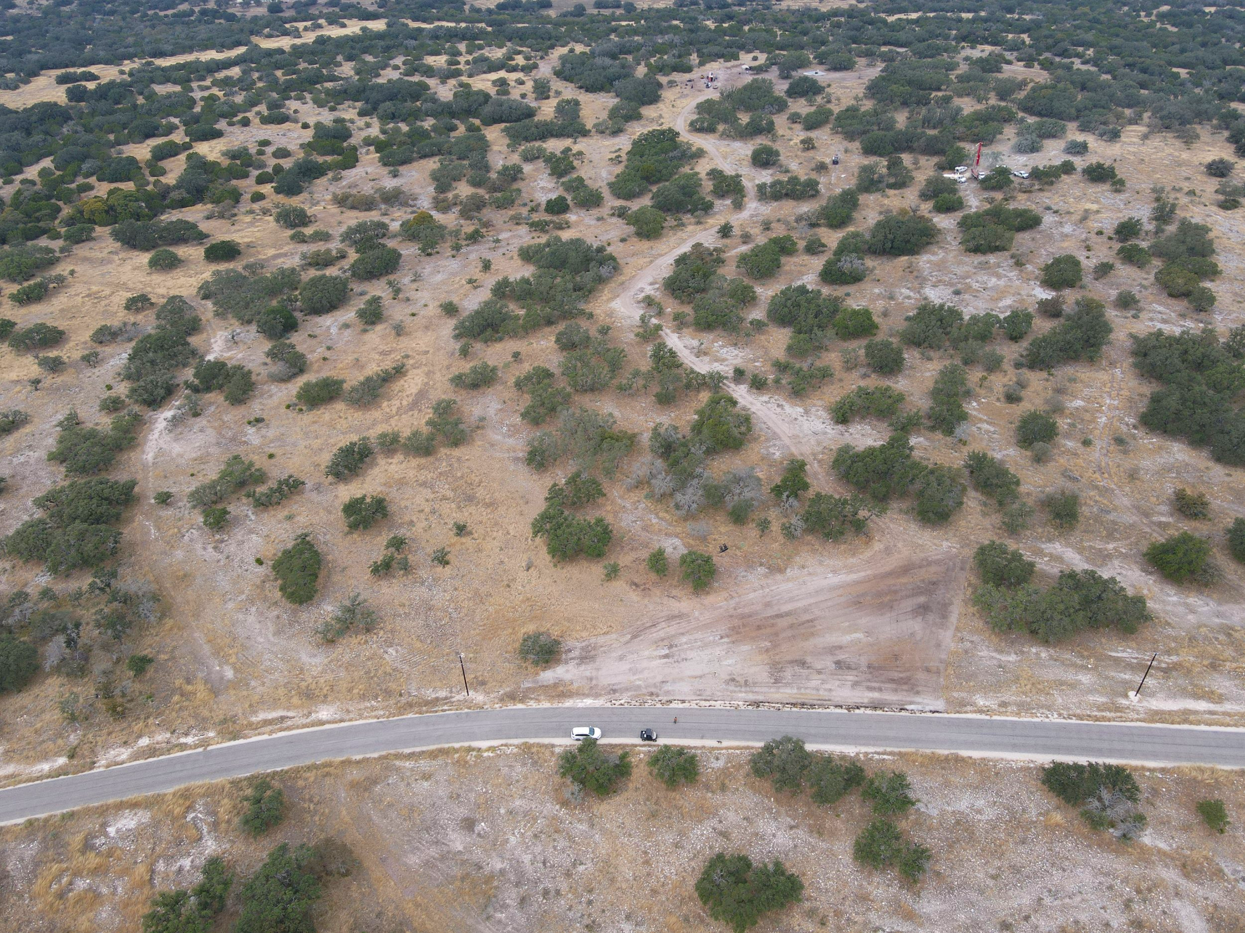
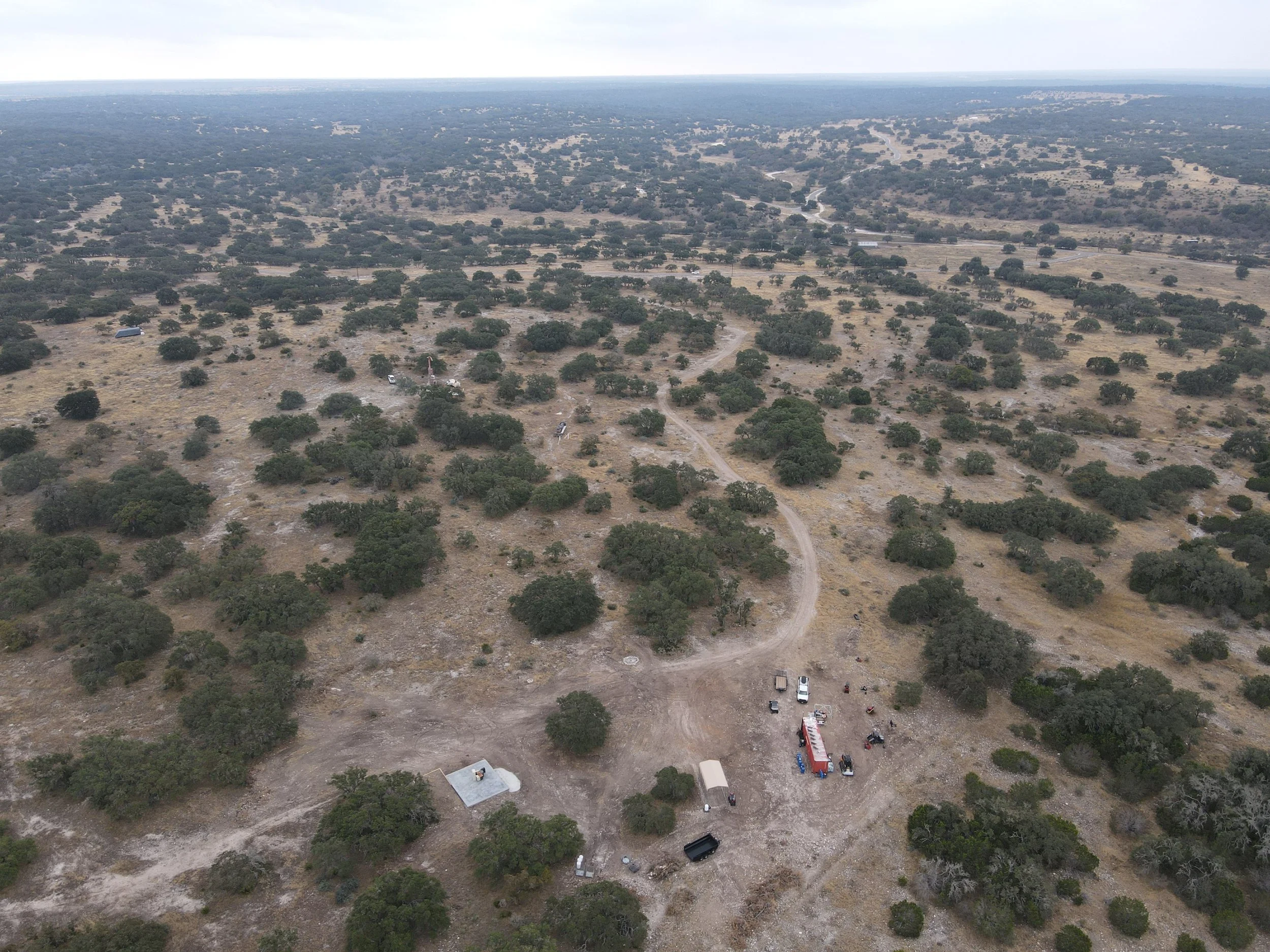
Project progress documentation
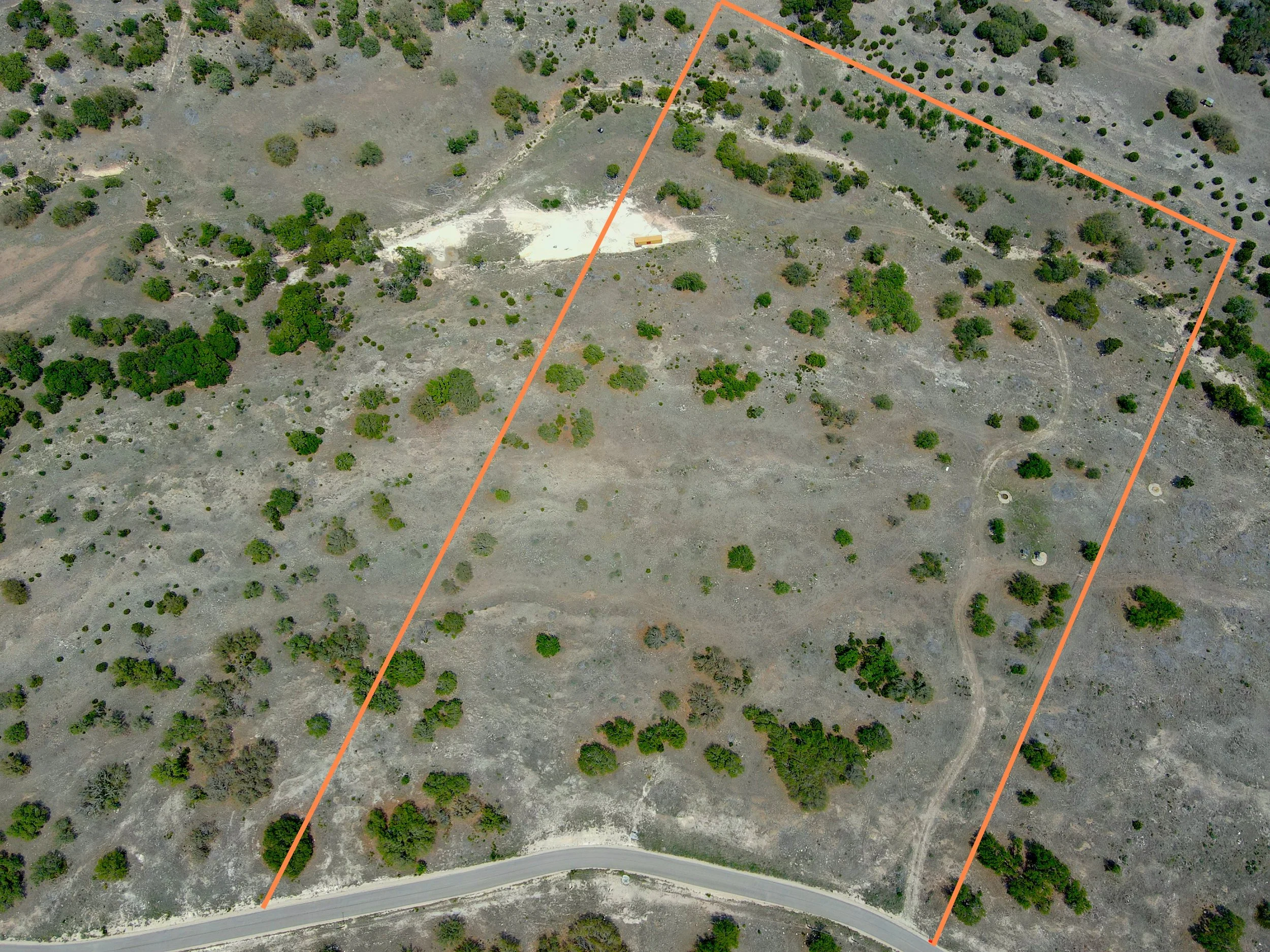
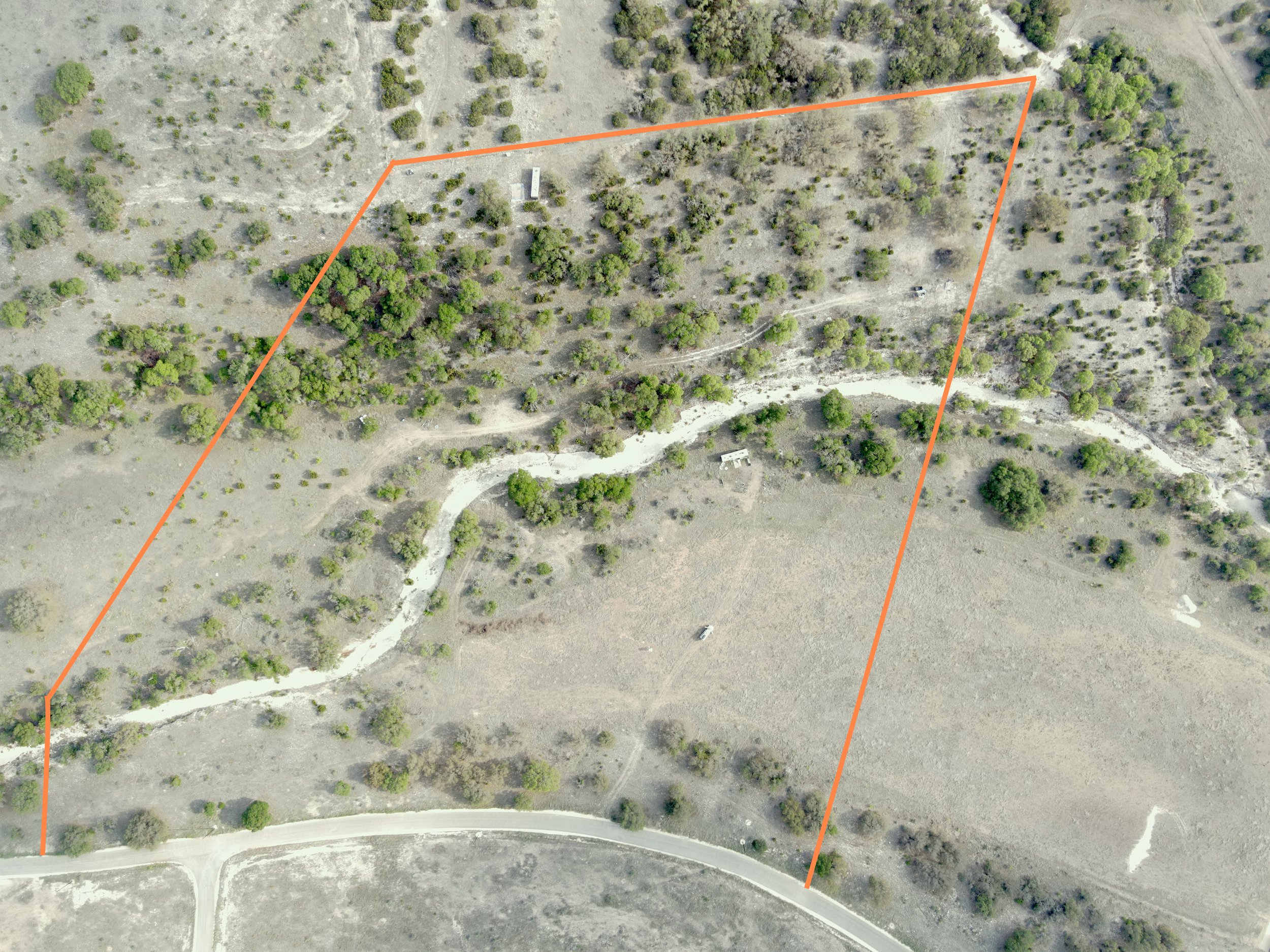
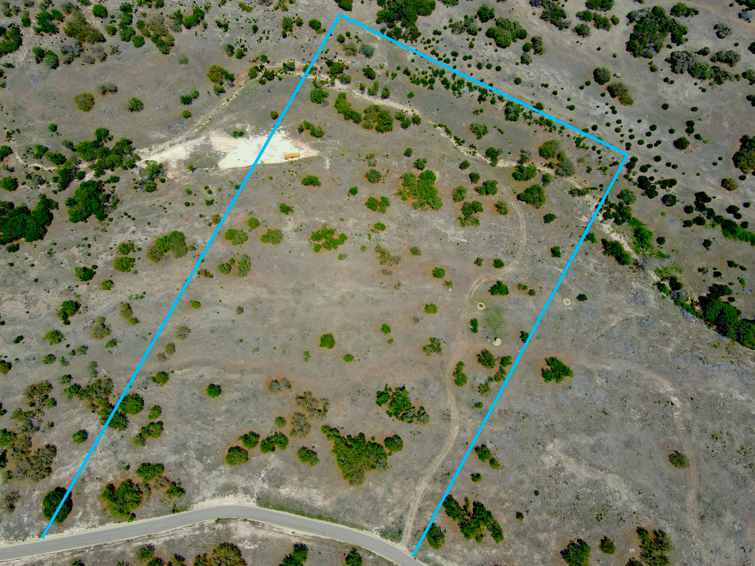
Lot line visualizations (if provided by client)
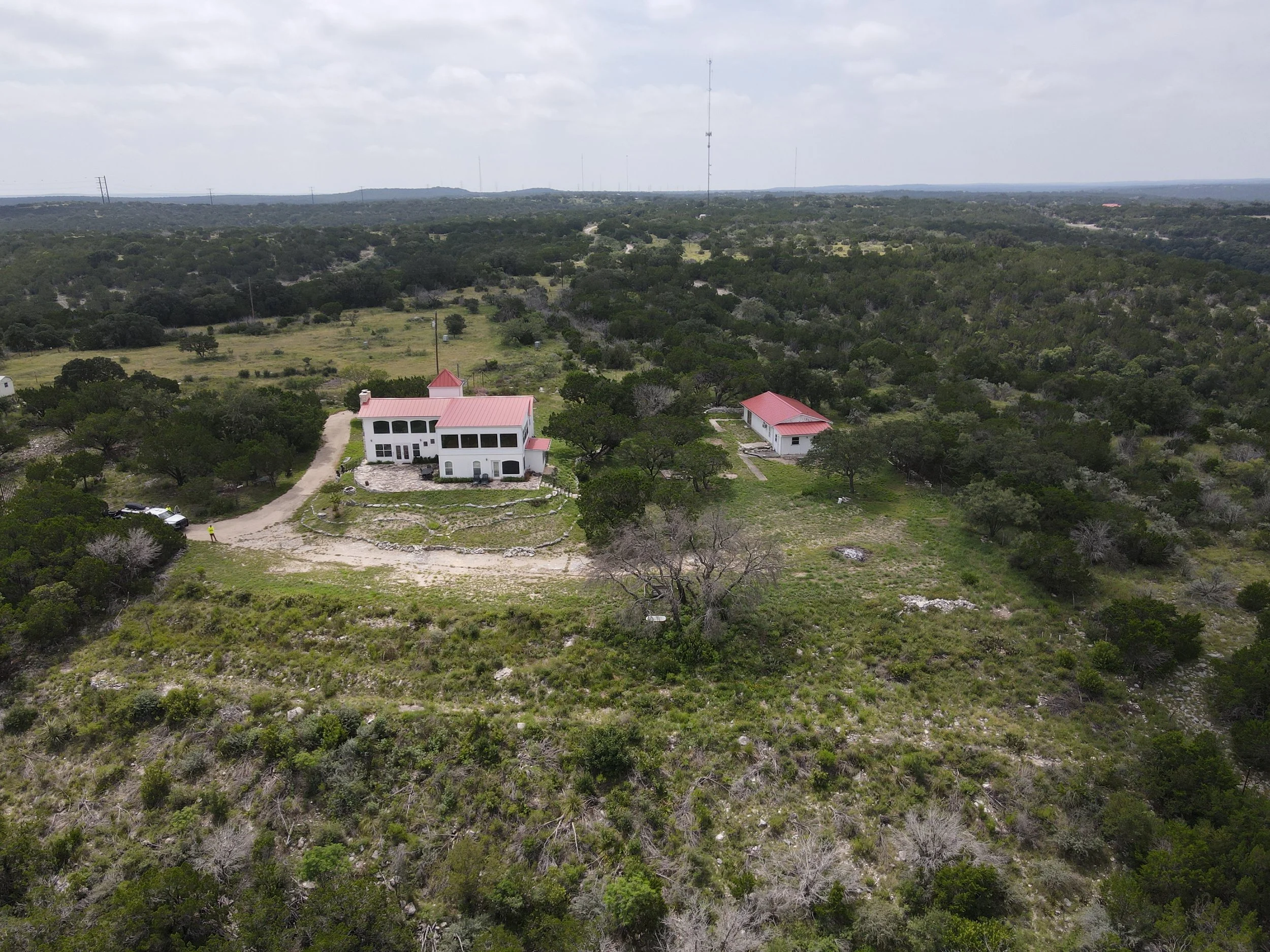
Marketing photos for real estate or ranch listings
Site planning visuals before starting work